
Trans Gunung Angsi (Ulu Bendul - Bukit Putus) - The Mountain With Special Sweet Treat

I’ve retired from hiking
This is what I used to tell people when they asked why I’ve not been hiking for some time. It’s meant as a joke of course, as there’s no such thing as a retirement from a hobby. I’m not a hiker by profession, so how could I possibly retire from a career I do not own?
But life as an accountant is no joke. The crazy working hours especially during the year end closing (technically, that’s mostly during the first quarter of the year) means I need to free up my calendar on weekends in order to work on reporting deadlines and year end audit. Therefore, weekends are basically packed with work, and even when I do not need to work on a particular weekend, rest is the first priority on my list. However, after being away from the mountains and jungle for half a year (my last hike was BAS in August 2017), an invitation from Uncle Mak to hike Mount Angsi in March got a fast nod from me.
Hiking to me is like coffee to some. It’s an addiction, a part of who I am and a blissful addition to my already-fascinating life

Almost without hesitation, I said yes to this event, only to find out that it’s organised by a group of JB-Singapore hikers, (Max Mountain Club, abbreviation: MMC). Lead by the leader Kenny (nickname: Mr. Cockcroach), MMC is a private hiking group consists of (mostly) Johorians, with some of them working in Singapore. That’s good news for me, since I could carpool with them, without having to book flight ticket. *wide grin* And I even managed to get Jesy (my Rinjani hiking buddy, who is also working in Singapore) to tag along.
Plan – Group vs Mine
After personally contacting Kenny, I found out that their plan consists of hiking both Gunung Datuk (Saturday) and Gunung Angsi (Sunday). Since I had previously hiked Datuk, and was only keen to hike Angsi, I asked to only join Angsi (Terry decided to tag along), while Jesy who has not been to either mountains wanted to join both.


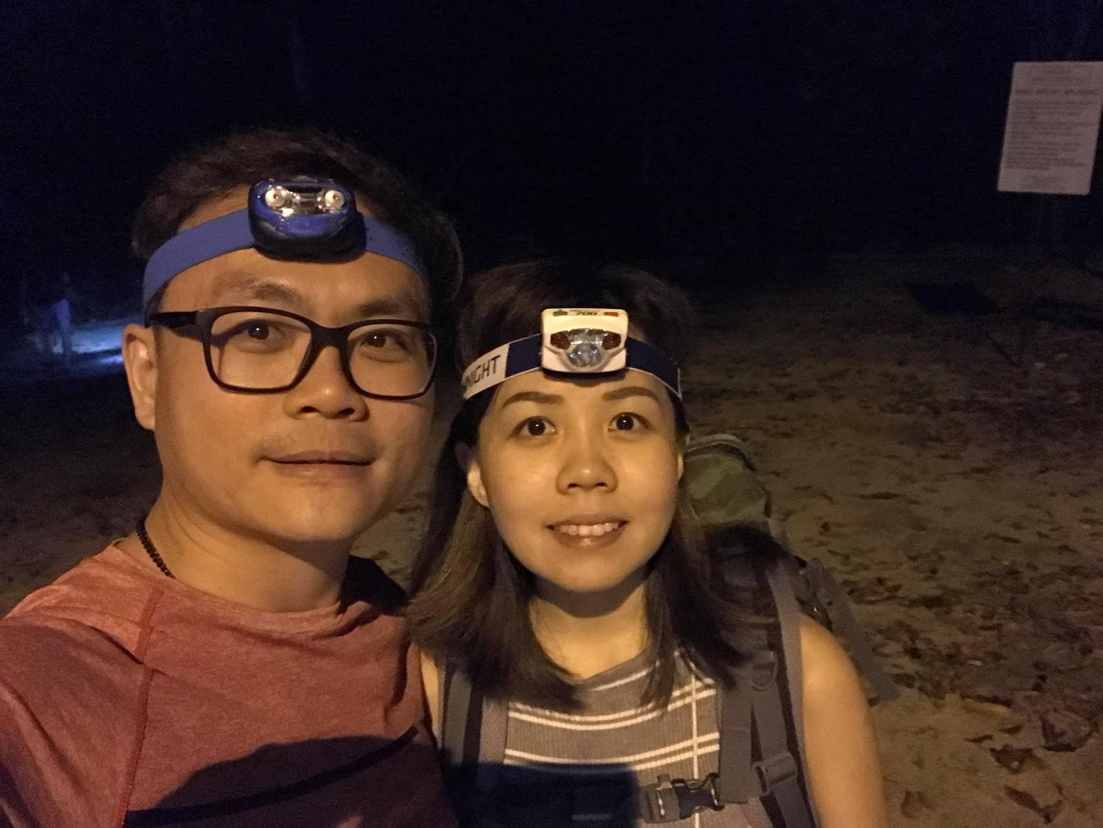
Therefore, Terry and I travelled down from KL on Saturday evening, joined the group for dinner at Seremban Crab Village, and camped together at Gunung Angsi trailhead. After our descent on Sunday, Terry drove back to KL, while I followed Kenny’s car back to JB.
Camping at the trailhead of Ulu Bendul
The group ended their Gunung Datuk sunset hike pretty late, and by the time we finished our crab feast, it was already 10ish at night. From Seremban town, we then drove to Hutan Lipur Ulu Bendul, where Gunung Angsi is situated. The plan was to hike for several hundred metres a spacious campsite, where we could camp, before starting our hike the next morning. However, we were chased out by the guards after we had set up our tent.
Apparently, we were not allowed to camp there since we did not have our permit nor entrance ticket. We were only going to buy the entrance ticket (RM5 per person) the next morning. Obeying the rules, we had no choice but to leave and ended up setting up our tent on the walkway of food stalls in front of the entrance. That’s got to be my first sleeping in a tent but right next on the highway! Too bad, I didn’t take any photos.
Since Uncle Mak’s birthday was just around the corner, Terry and I also bought a cake for celebration. Little did we know that 2 other hikers also have their birthday on the same week. Oops! Luckily, the group already had something planned the next day. Phew~!
About Mount Angsi
Situated in Hutan Lipur Ulu Bendul, Gunung Angsi stands at a height of 824m above sea level, making it a moderately easy hike which can be done in half a day. The entire hike from Ulu Bendul to Bukit Putus (or the other hand round) is only about 13km, and can be done is 5-6 hours (for average hikers).
Just 20km away from Seremban, and about an hour drive from KL, this mountain is a favourite training spot for Seremban hikers and occasionally frequented by KL-ites. Hikers are required to register at the park ranger's office pay an entrance fee of RM 5 per person.

Just 20km away from Seremban, and about an hour drive from KL, this mountain is a favourite training spot for Seremban hikers and occasionally frequented by KL-ites. Hikers are required to register at the park ranger's office pay an entrance fee of RM 5 per person.

The recreational park itself has clear streams, shady picnic and BBQ sites as well, so it’s no surprise to see many families visiting this place on weekends. Toilet and bathing facilities are also available at recreational park’s entrance at about 50 cents per entrance.
The two known trails to the summit are:
1. Ulu Bendul – 166m asl, 8.5km to summit, elevation gain of 692m
2. Bukit Putus – 281m asl, 4.7km to summit, elevation gain 577m

Ulu Bendul trail is obviously the longer hike to the summit, with twice the distance of Bukit Putus trail, but looking at the elevation gain, the Bukit Putus trail is steeper. It takes approximately 2 to 2.5 hours to reach the summit from Ulu Bendul and probably only 1.5 to 2 hours from Bukit Putus.
Most hikers ascend via Ulu Bendul and descend via Bukit Putus to enjoy the best of both trails, and that was exactly what we did. However, do take note of the distance between the two trail heads and remember to arrange your transportation back to the Hutan Lipur Ulu Bendul, or you’ll need to walk quite a distance back to your car. In our case, we parked a car at Bukit Putus car park before starting our hike.
Most hikers ascend via Ulu Bendul and descend via Bukit Putus to enjoy the best of both trails, and that was exactly what we did. However, do take note of the distance between the two trail heads and remember to arrange your transportation back to the Hutan Lipur Ulu Bendul, or you’ll need to walk quite a distance back to your car. In our case, we parked a car at Bukit Putus car park before starting our hike.
Address: 71500 Tanjung Ipoh, Negeri Sembilan, Malaysia (Hutan Lipur Ulu Bendul)
Opening hours: 7am to 6pm
Tel: +606-481 1036
GPS coordinate: 2.727418N, 102.0758E (Ulu Bendul) or 2.727351N, 102.0562E (Bukit Putus)
Entrance fee: RM5 per person
Ascent via Ulu Bendul route
06:55 Start hike via Ulu Bendul
06:55 Start hike via Ulu Bendul

Our morning began with the usual routine of waking up, freshening up, packing our tents and equipment, and fuelling ourselves with breakfast, after which we went to get our tickets and kicked start our hike at 6:55am.


As we entered the jungle through Ulu Bendul entrance, we passed by the campsite we initially planned to camp. The sky was too dark for photos, but there’s a river next to it when a sign to remind us to drink the river water at your own risk. For those of you who plan to camp here or fill up your drinking water at the river, please always bear in mind that the water may not be safe for consumption. After all, it’s too near the entrance and could be easily contaminated.


As we entered the jungle through Ulu Bendul entrance, we passed by the campsite we initially planned to camp. The sky was too dark for photos, but there’s a river next to it when a sign to remind us to drink the river water at your own risk. For those of you who plan to camp here or fill up your drinking water at the river, please always bear in mind that the water may not be safe for consumption. After all, it’s too near the entrance and could be easily contaminated.


Kem Tangga Batu
07:50 Reach Kem Tangga Batu (3.96km)

The first 4-5km of the trail is rather flat without much elevation gain, and after an hour, we finally reach a campsite called “Kem Tangga Batu” (literal translation: Stone Steps Camp). True to its name, there’s steps at this campsite, though It’s actually made of cement instead of stone.

Here, we waited for everyone to assemble before finally proceeding to the peak. There’s a senior hiker (>60 years old) who is very fit for her age, but understandably slightly slower than we were. While waiting, we took some group photos and Terry, Uncle Mak and I even played with split camera since the steps are perfect photography spots.


The trail following Kem Tangga Batu is where the real hike began. Here, the train begins to climb continuously, and having stopped hiking for more than half a year, I found myself panting ad sweating more than usual.


It really isn’t that taxing for frequent hikers, but I guess my stamina has deteriorated. Soon, gaps between to form among us, and I began taking shorter, slower stride to counter my tiredness.


Botak Hill
09:30 Reach Botak Hill (8.2km)
After one and a half hours of continuous uphill climb, we emerged at Botak Hill, an open area with steep sand boulders. Honestly, I find it quite beautiful, and is a good photo spot.


The one who doesn’t give up on an uphill struggle will be handsomely rewarded
One can climb along the left side of the boulder, or choose the right-side path. Per suggestion from fellow members ahead of me, I picked the left side one. Be extra careful though when climbing up the boulder, especially during raining days, as it could get slippery.


Right after the boulder, we would need to pass through a narrow opening before we could continue climbing to the summit of Mount Angsi, in other words, another photo spot. Emerging from this opening, is another steep climb for before we finally reached the peak.
Mount Angsi Summit
10:00 Reach Gunung Angsi summit (8.5km)

Just like what many have described, there weren’t any spectacular views from the summit. However, during clear weather, we could see Seremban town to the west, and more hills to the east.


Right in the middle of the clearing is the signboard of Mount Angsi, and in front of it is a small resting hut, which ironically has a bus stop sign.


One of the hikers carried cake and watermelon to the summit, and so we had a mini birthday celebration for Uncle Mak, Lee and Madam Ming.


And of course, I couldn't resist a photo with the star of the day - Wai Lan's mother who is 60+. She has my respect for being so fit at her age. Can you believe that she's faster than newbie young hikers?

Age is just a number. Don't let age dictate what you can or cannot do
Descent via Bukit Putus route
11:00 Descent to Bukit Putus
After spending close to an hour on the summit, we finally decided to descend via Bukit Putus route. Kenny’s car was parked at Bukit Putus trail head but he was the sweeper of the day. Therefore, the keys are passed to the fastest hikers so that they could make rounds dropping us off at Ulu Bendul. At a speed of lightning the guys sped off from the peak while I descended in comfortable pace.


12:00 Reach Waterfall View (9.2km)
Along the way I passed by a place with the sign of “Waterfall View” but I couldn’t see any sign of waterfall no matter how hard I tried. Wanting to get to the trail head quick, I gave up and made my way to the next pit-stop.

Uncle’s Panjang Dessert Hut
11:40 Uncle’s Panjang Dessert Hut (10.8km)
About 40 minutes away from the trailhead, lies this lovely makeshift hut, which was famously known as Uncle Panjang’s Dessert Hut. Apparently, every Sunday, an elderly affectionately called “Panjang” prepares tongsui (sweet soup) and offers it to hikers free of charge.

I’ve heard about this before we started hiking up, but was surprised to see that the hut is a permanent fixture with aluminium roofting, cooking pots, tables, teapots, water and serving utensils. I was told thaat some of the hikers in the Seremban area will supply beans, sweet potatoes, and cane sugar for him to prepare the desserts but no one, seems to know why he would take the effort to do it free of charge.

The dessert for the day was green bean soup with coconut milk and it was the best dessert I ever had during a hike. Thanks Uncle Panjang! Though the reason behind your kindness remains unknown, what I do know is that you put smiles on our faces.
No act of kindness, no matter how small, is ever wasted
Back to Singapore With Newly Made Friends
12:30 Reach Bukit Putus trail head (13.2km)
After finishing a bowl of green bean soup, I trailed behind the fast members in descending, but soon lost track of them. By 12:30pm, I finally reached Bukit Putus trailhead. Soon, Terry who had reached before me returned with his car and together with Jesy and Wai Lan’s newphew, we drove back to Ulu Bendul carpark. The two places are 3km apart and took us only 5 minutes. If you were to walk, it would probably be 30-40 minutes.

After taking our shower, we all head to Seremban town for lunch, before finally heading our separate ways. Those who were from KL went back to KL and those who drove up from JB went on a 4 hours journey back. As for Jesy, Ykai, Lee and I who stays in Singapore, we were dropped off at JB sentral by Kenny, and we crossed the causeway after filling in our hungry stomach with grilled fish for dinner.

Epilogue:
As warned (and so expected) by my other hiking mates, there really isn’t any view at the top of Mount Angsi. The hike itself wasn’t any difficult nor interesting. This ranks the mountain as one of my least favourite mountain to hike. It’s not a place I would recommend if you are looking for some exciting weekend adventure, but if you are looking to put your legs muscle to work and have nowhere else in mind to go, this is not bad of a choice if you stay in Negeri Sembilan, Selangor, Kuala Lumpur or Melaka. And while you are here, you may want to hit two birds (or three) with one stone and check out either Gunung Datuk or Gua Batu Maloi.
Nonetheless, I did enjoy my hike after being on hiatus for way too long. I’m glad to have decided to tag along, and found my way back to the mountain. It feels so good to finally be back to the hiking world and get close to nature after being stuck in a mundane 9-6 for so long. Somehow, hiking makes me feel alive. I guess…
Once a hiker, forever a hiker?

---------------------------------------------------------------------------------------------------------------------------------------------------
Thank you for reading all the way till the end. Too much info and you just want a summarised itinerary but too lazy to scroll back up? Well, here’s a summary I’ve drafted up for you. Hope it helps you with your planning.
Itinerary:
**Disclaimer: Below is my timing according to my speed. So please take it with a grain of salt, as everyone is different. Have fun hiking this mountain *wink*
Day Hike (18/3/2018)
Total distance hiked: 13.2km (2 streams crossing)
06:55 Start hike via Ulu Bendul
Total distance hiked: 13.2km (2 streams crossing)
06:55 Start hike via Ulu Bendul
07:50 Reach Kem Tangga Batu
09:30 Reach Botak Hill
10:00 Reach Gunung Angsi summit
11:00 Descent to Bukit Putus
12:00 Reach Waterfall View
11:40 Reach Uncle Panjang’s Dessert Hut
12:30 Reach Bukit Putus trail head
Alternative hiking route:
***Disclaimer: The following tips are formed based on my personal opinion. As I’m not a mountain guide nor professional hiker, please exercise your own judgment before following.
🔼Bukit Putus – Ulu Bendul
This is the reverse of our hike, where one start from Bukit Putus and end at Ulu Bendul. The ascent will be steeper but shorter, while the descent will be longer. Plus, you might miss Uncle Panjang’s dessert if you start way too early. Uncle might not arrive yet.
🔼Ulu Bendul – Ulu Bendul
Have more time to spare and came in only one car? Those who couldn’t park cars at separate trailhead may only choose to go down the same way they go up, and Ulu Bendul – Ulu Bendul will fit those who like a longer hike.
🔼Bukit Putus – Bukit Putus
Short on time and wanted to train on steep trail? Then Bukit Putus – Bukit Putus is the answer to your prayer, though it may be less fun doing this route.
🔼Ulu Bendul – Bukit Putus – Ulu Bendul (or the other way round)
Not for the faint-hearted, this is for the hardcore hikers as the total distance is 26.4km which will take more than 10 hours to complete. A good training in preparation for a hardcore hike, but only recommended for people who live nearby. If you are travelling, this is probably not for you. Why Angsi when you could just train at other places nearby to you?
---------------------------------------------------------------------------------------------------------------------------------------------------
-Thanks for reading-


I'm going this saturday.. didn't know it's going to be a journey.. haha thanks.
ReplyDeleteHi KY, how was your hike? Thanks for dropping by and I hope you had a good time at Angsi :)
Delete