Bukit Batu Chondong – An Easy Scenic Hike (Update: Now A Prohibited Hill)
This hike was actually two years ago and I had always wanted to conquer all 5 of Tabur Hills and blog all in one post, since Bukit Batu Chondong is often being referred to as an extension to Tabur Hill. However, having only done Tabur Far East and Tabur Extreme, I have yet to have the chance to hike Tabur East, Tabur West and Tabur Extra as entrance to Tabur Hills has been prohibited for years due to increasing reported accidents. As a result, my listicle didn’t come to a fruition.
List of Tabur Hills:
❶ Tabur East
❷ Tabur West
❸ Tabur Far East (hiked in Oct 2016)
❹ Tabur Extreme (hiked in Oct 2016)
❺ Tabur Extra
As I was re-organising my photos and my list of blog backlog, I finally remembered this hike to Bukit Batu Chondong and decided to create this particular short blog post, as a simple, brief guide for those looking for info on Bukit Batu Chondong, as well as to serve as my own personal hiking record.
Update 13 Oct 2020:
I have been told that Bukit Batu Chondong is actually also prohibited from hiking just like all other Tabur Hills. Therefore, do note that you are subject to legal actions (fine not exceeding RM30,000 or jail up to 5 years, or both) if caught hiking this hill.
 |
Notice from Selangor State Forestry
|
How To Get There
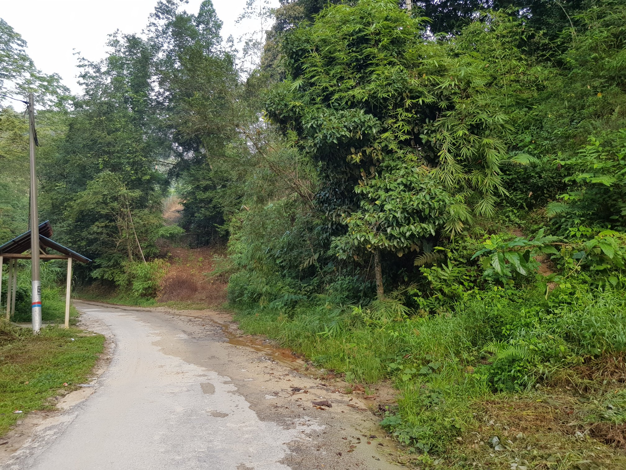
Bukit Batu Chondong is located in Kemensah, Ampang near Zoo Negara. The road leading to the trail head is a narrow tarmac road so be prepared to give way to opposite traffic.
 |
The narrow tarmac road and trail head to Bukit Batu Chondong
|
 |
Take this small path, which is the trail head
|
Coordinates: N3.218197, E101.786375
Address: Jalan Taman Zooview, Kampung Kemensah, 68000 Ampang, Selangor
Entrance/Permit: Free
You may park your car at the road side at your own risk but we parked in a private parking of Kombat Zone Paintball which costs RM3.
 |
We parked out car here
|
 |
It's a private parking, so you need to pay although there is no one mending it
|
 |
RM3 per entry which we paid when we left
|
Somehow, we rather pay a small fee to park in a secured place, and it is just within walking distance to the trailhead.
Coordinates: N3.218323, E101.787658
Parking fee: RM3 per entry, pay upon exit
The Hike
The hike to the peak of Bukit Batu Chondong is a very a pleasant, short hike. It takes only roughly 15-20 minutes to reach the peak and 10-15 minutes to descend. Even if you spend 1-2 hours at the peak (you won’t spend too long up there or you will be roasted under the hot Malaysia sun), the whole trip would only takes you about 3 hours maximum.
 |
Hiking in bamboo forest
|
 |
| Bamboo trees |
 |
At one point we come across this big boulder
|
 |
We took the right path
|
We went early in the morning on a weekend, and the place is not crowded. Besides, getting there early also means the weather is more comfortable as not too hot and sunny.
After entering via the trail head, you will be hiking on forest trail before crossing bamboo forest. The path are generally easy and not steep until you reach the rock formation as you approach the peak. Here, you would have three options to get to the peak.
➀ Straight 90-degree rope climbing through the crack of the rock formation (difficult – hard)
➁ Tree roots at the side of the rock formation, with rope assistance (difficulty - moderate)
➂ A path to walk around the rock formation where no climbing is required (difficulty - easy)
 |
Path 1
|
 |
Path 2 (left) and 3 (right)
|
Two years ago, I was only aware of the former two options but subsequently the third path is discovered by other hikers.
 |
Struggling to climb up
|
As we only knew about the first two options, Terry who goes for wall climbing weekly had no problem taking on the first path, while I struggle to follow his foot steps. In the end, I gave up and climb the roots instead. Needless said, my legs went jelly while climbing the roots as I can’t stop thinking of the worst case scenario where I would slip and fall to my death. Thank god I grabbed tightly to the ropes as I climb and made it up safely. So, to those attempting this hill, remember to be extra careful and whenever you are in doubt, it’s better to give up than to risk yourself. If possible always go with the experienced, so that you can be well guided.
 |
Gave up on Option 1 and took Option 2
|
The space at the peak is small and limited, I think it couldn't accommodate more than 20 people. There’s a tree and a triangulation station and there where Terry set up his hammock. We spent some time having our morning coffee and tea in peace while enjoy the Saturday morning’s breeze, before we head to the viewpoints for photographs, then descend to return home.
 |
The triangulation station
|
 |
We were the only ones that day
|
 |
Chilling on our hammock while having tea/coffee
|
Viewpoints
I recalled three viewpoints in total during my visit 2 years ago:
➊ First viewpoint –Bukit Batu Chondong signboard
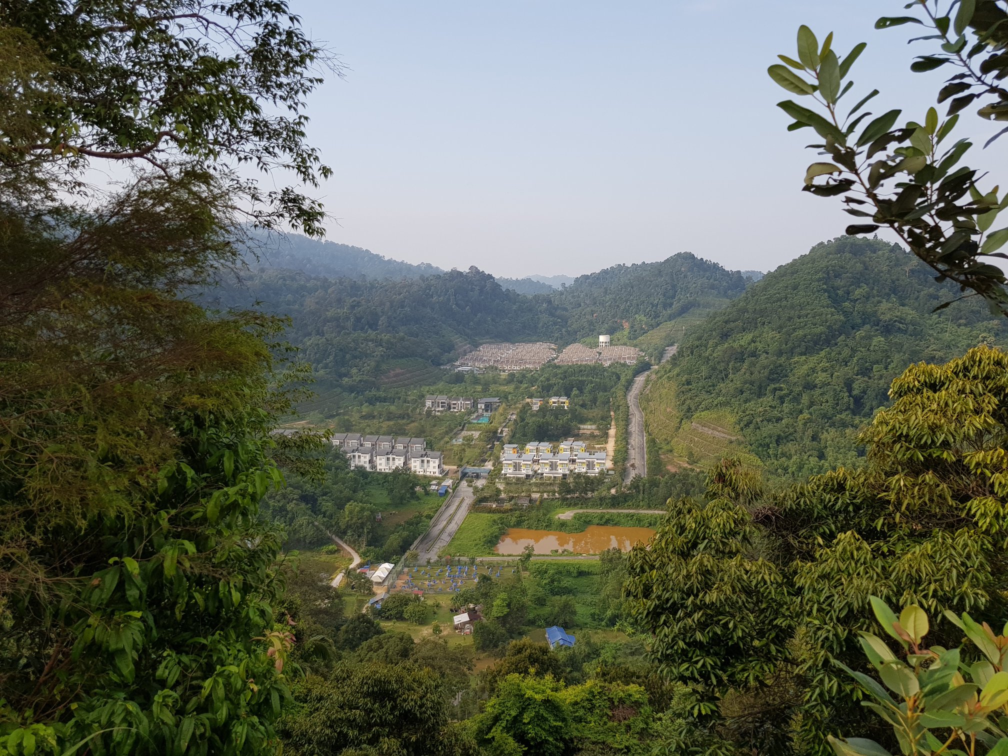
Though said to be similar to Tabur Hills, you don’t get the dam view like the ones you see in Tabur. Here all you get is greeneries, but for such a short hike, it’s considered rewarding still. As with my other hike, I like to sit at the edge from some “sexy back” pose, but always make sure to proceed with caution whenever you sit at the edge.
 |
First viewpoint
|
 |
The signboard of Bukit Batu Chondong
|
 |
| I used to like taking photo of my "sexy back" which I always said was my signature pose |
 |
Doesn't this feels like Tabur to you?
|
 |
| Except there is no dam |
 |
I was so slimmed 2 years ago
|
 |
Cool face
|
 |
Not so cool anymore
|
 |
Are you afraid of heights?
|
 |
Always loved taking shots like this
|
 |
Love this shot
|
➋ Second viewpoint – narrower edge with a view of a residential area
The second viewpoint is quite similar with the first one, except you also see a bit of a residential area. Again, do proceed with caution whenever you go near any edge.
 |
Second viewpoint
|
 |
Some housing area nearby
|
 |
Gaya.Mutu.Keunggulan
|
 |
| Love my back, so sexy ain't I? (shameless) |
 |
I love these series of photo
|
 |
Photographer doing a very good job that day
|
 |
| Love you |
➌ Third viewpoint – The Big Rock with the view of Bukit Tabur
The third viewpoint is the most beautiful in my opinion. It’s a bit of walk from the triangulation station, and some people might miss it.
 |
| Take this path to the third viewpoint |
 |
You can see Tabur at the background
|
To get the below photo, the cameraman will have to stay behind to snap from afar. Do be careful when you get on the big rock for photos. We do not want anything bad to happen to you. Stay safe and don’t attempt anything crazy, okay?
 |
Didn't dare to step to close initially
|
 |
Found the courage to climb up
|
 |
My photographer freaked out when I went that far to the edge
|
 |
Okay, let's retreat
|
Honestly, my legs were shaking when I get near to the edge, so I stayed as far away from the edge as I could. After several photos, I timidly made my way back, for fear of falling off the rock. So folks! Better be safe than sorry.
Batu Asah Waterfall
Most people combine Bukit Batu Chondong hike with a trip to Batu Asah Waterfall which shared the same trailhead. However, during our hike 2 years ago, we didn’t make it to the waterfall. I think I was on my period that time and didn’t want to get wet. So hiking Bukit Batu Chondong was the only thing we did before we head out for lunch.
To get to the waterfall, just follow the same path from the trail head until you reach a cross junction, where there is a tree marked with red paint. You will see the path splits into three, with the middle one heading to Bukit Batu Chondong. The left path is the one leading to the waterfall. So when you descend from Bukit Batu Chondong, you will have to turn right to Batu Asah Waterfall.
Final thoughts
And here you go, a brief write up of my hike two years ago, which my memories are no longer as vivid. Luckily, I had some records on the photos I posted on my personal Facebook to help me recall my experience.
Though I didn’t get to visit Batu Asah Waterfall, it’s certainly in my to-go list the next time I hike Bukit Batu Chondong again, as a dip into cool water after a hike is certainly going to be refreshing. Hopefully, I will be back soon.
Have you hiked Bukit Batu Chondong before? Did you visit Batu Asah Waterfall as well? Do share your experience below!
---------------------------------------------------------------------------------------------------------------------------------------------------
-Thanks for reading-


Wcossical_go_Provo Seishi Hansen click
ReplyDeletehidexbichens