Bukit Mor – A Leisurely Short Hike To Picture-Perfect Sunrise
Ever wanted to hike a mountain but you are worry about your fitness? You are drawn to those beautiful view at the top of the peak but hiking for several hours sounds too challenging?
Bukit Mor, a small hill with only an elevation of 227m above sea level could be what you are looking for.
How To Get There
Bukit Mor is located in Kampung Batu Mor, a small village in Parit Jawa, about 18km (25 min) from Muar. The trail head is located in an oil palm plantation, and most people would just park their car there.
Address: Bukit Mor, Kampung Batu Mor, Parit Jawa, 84200 Johor, Malaysia
Coordinates: N1.982429, E102.669454
Entrance/Permit: Free
Hiking Trails
Although Bukit Mor is not high in regard to its height, there are many different trails and viewpoint available, ranging from easy to moderate difficulties. We didn’t have enough time to explore all the trails, and only managed to do the following:
Day 1 : A > B > C > D > E > G > 8 (campsite)
Day 2 : 8 > 6 (Dataran Bendera Sunrise Viewpoint) > 8 (campsite) > 18 (Lion Rock) > D > C > unofficial track > A
 |
| Hiking map at the entrance |
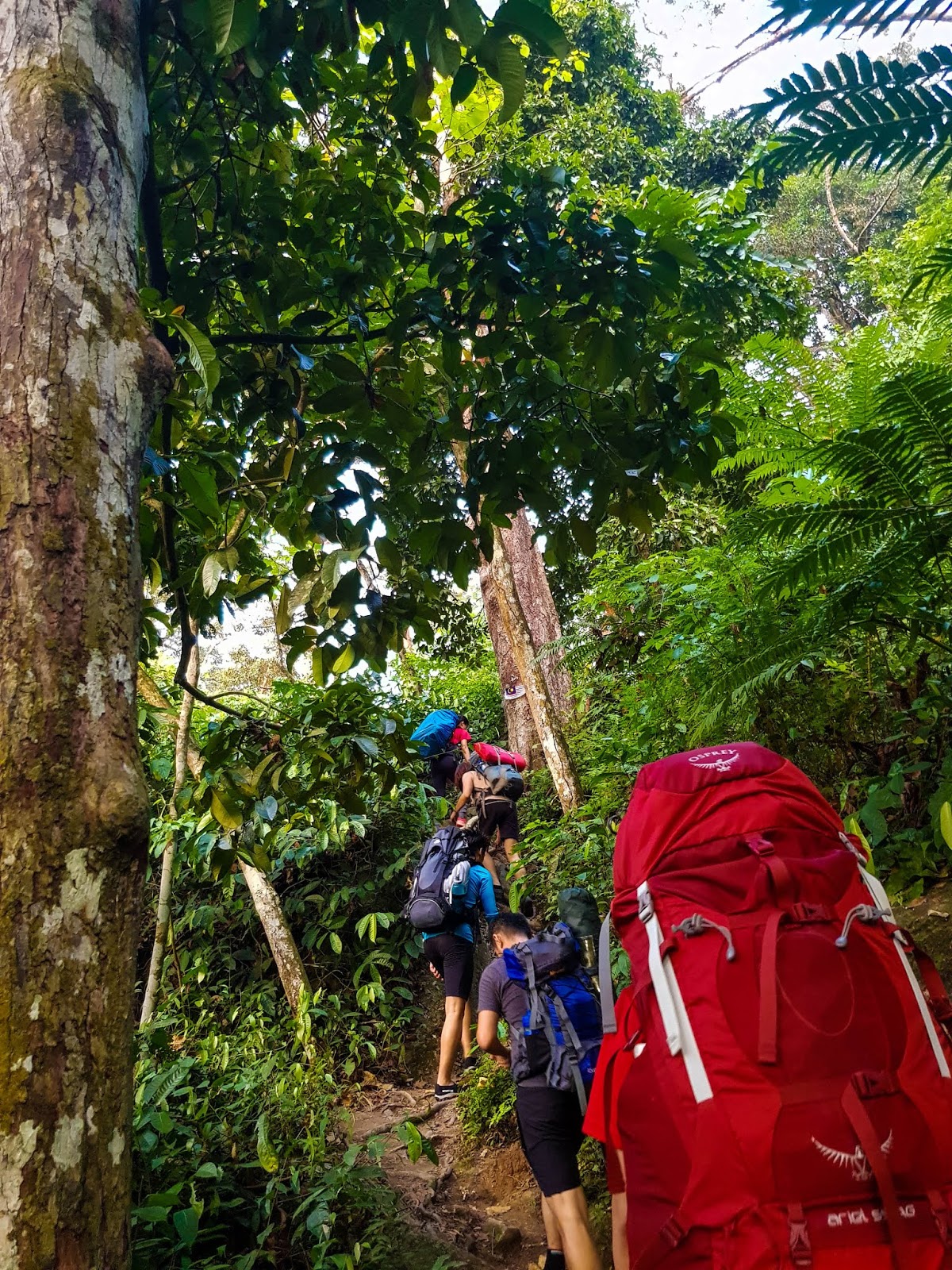
Easy Ascent
T-Junction To G and E
After setting up our tent, we set up the barbeque pit for dinner. Ykai who was in-charge of organising this camping trip had prepared the following food and beverages for the 12 of us:
- One whole herbal roasted duck from 822 Super Duck King
- Fusilli pasta with cream sauce
- 40 chicken winglets (for barbeque)
- Chicken skewers (for barbeque)
- Broccoli and golden mushroom with cheese (for barbeque)
- 1.5 carton of Guinness Stout
- 0.5 carton of Carlsberg
We had a blast that night, eating, drinking and playing card games until 2.30am. Unfortunately, I didn’t notice any stars or milky way that night. Probably not a good location or time for that matter.
Sunrise At Dataran Bendera (lowest peak)
Although Dataran Bendera (literally means “Flag Plains”) is the lowest peak of Bukit Mor, it is however the best spot for sunrise.
 |
| Waiting for sunrise |
 |
| Waiting for sunrise |
At the edge of the plains is a small rock where a Malaysia flag stood proudly. Everyone would either sit or stand on the rock with the layers of surrounding foggy valleys and oil palm plantations in the background. The sky turned from purple to pink and slowly the morning sun rose to greet us.
 |
| Look at the layers of morning mists in between the valleys |
 |
| The sun is shinning but yet to show itself |
 |
| "Egg yolk" sunrise |
 |
| Sunrise |
 |
| Let's have a cup of coffee/tea |
 |
| The rising sun |
 |
| The Malaysian flag standing proudly |
 |
| Love sign but the cameraman snapped the shutter way too fast |
With everyone taken enough photos, we headed back to the campsite for breakfast before packing up for our descent.
 |
| Back to campsite to have breakfast and pack |
 |
| Group photo at the campsite |
Lion Rock Viewpoint (aka General Rock)
Dataran Bendera is not the only sunrise viewpoint, as there is also a higher peak right opposite and a rock formation near our campsite which resembles a lion. The local called it The General Rock, but I’d prefer calling it the Lion Rock due to its close resemblance. It’s only a 5-min walk from the campsite and is along the other trail towards D which we had decided to take. Instead of going through the same route as the previous day, we figured it would be more fun to explore another trail.
 |
| Trail leading to Lion Rock |
 |
| Lion Rock |
To get a nice shot of the Lion Rock, we would need to climb up, but do remember to do it carefully. It’s important to wear a shoe with good grip. I was intimidated with the height of the rock and the lack of space up there to stand, hence I ended up only sitting down for photos.
 |
| I tried my best but I had fear for heights, so "sit" it is |
 |
| Aerial view of Lion Rock thanks to Ykai's drone |
Although I gave up standing, the others who are braver did manage to do it with style.
Descent
From there, we could take the same D > C > B > A route as before, but Vambly and Ykai who had hiked this hill before guided us towards an unofficial trail which brought us from C straight to A without going through B.
It’s not shown in the trail map at the entrance, but I’ve drawn in here for your reference:
 |
| See above yellow drawn trail (unofficial) |
 |
| At this sign, walk straight down instead of turning to "B" |
Lunch at Mei Teng Pan Mee & Fish Noodle
After loading our bags and gears into the car, we drove to Kampung Baru Bukit Mor, where we had our lunch at Mei Teng Pan Mee & Fish Noodle.
Address: 77, Kampung Batu Mor, 84150, Johor, Malaysia
Opening hours: 9am- 3pm (closed on Monday)
Coordinates: N1.975059, E102.662153
Contrary to the shop name, we did not find any pan mee in their menu, but local recommended their award-winning fish head beehoon soup (which they won from a cooking competition I supposed) and claypot savoury porridge. The fish head beehoon soup is nothing to shout about but their porridge is so delicious we had to order another portion. The porridge comes with generous ingredients such as raw eggs, fried egg, salted egg, century egg, fried fish fillet, preserved radish, fried shallots, and spring onions. As it has eight ingredients, we called it the eight-treasure porridge.
 |
| Left: Eight treasure porridge, Right: Fish head beehoon soup |
With our tummy filled, we drove back to JB with a pit-stop at Pagoh R&R to take a shower. With that, it summed up our yet another fulfilling weekend, with many more in anticipation.
Epilogue
Bukit Mor is another example of a leisure hike with rewarding view. The hike is fairly easy which is manageable even to beginners, yet the stunning panoramic view beat many other higher mountains, making it a worthwhile trip for hikers or photo enthusiast. There are plenty of different trails to explore here, and I’m sure I will return someday to see the other sides of Bukit Mor.
 |
| Till then! |
---------------------------------------------------------------------------------------------------------------------------------------------------
Thank you for reading all the way till the end. Too much info and you just want a summarised itinerary but too lazy to scroll back up? Here’s a summary I’ve drafted up for you. Hope it helps you with your planning.
Itinerary:
**Disclaimer: Below is my timing according to my speed. So please take it with a grain of salt, as everyone have different pace. Have fun hiking this mountain. *wink*
Day 1
Total distance hiked: unknown (estimated less than 2km)
1830: Gather at trail head
1845: Start hiking
1930: Reach campsite (set up tent, prepare dinner and rest)
Day 2
Total distance hiked: unknown (estimated less than 3km)
0615: Wake up
0630: Hike to Dataran Bendera Sunrise Viewpoint (sunrise around 7am)
0745: Back to campsite (breakfast and packing)
0900: Hike to Lion Rock Viewpoint (photo session)
0930: Descent
1030: Reach trail head
---------------------------------------------------------------------------------------------------------------------------------------------------
-Thanks for reading-


Bukit Mor – A Leisurely Short Hike To Picture-Perfect Sunrise >>>>> Download Now
ReplyDelete>>>>> Download Full
Bukit Mor – A Leisurely Short Hike To Picture-Perfect Sunrise >>>>> Download LINK
>>>>> Download Now
Bukit Mor – A Leisurely Short Hike To Picture-Perfect Sunrise >>>>> Download Full
>>>>> Download LINK
Thank you very much, xie xie
ReplyDelete